Description
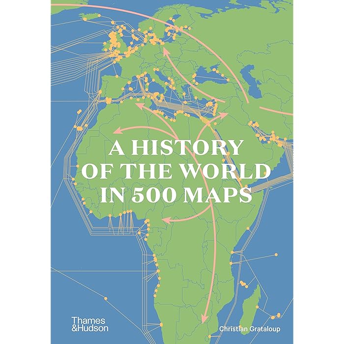
**”A History of the World in 500 Maps”** is a visually captivating and informative book that takes readers on a journey through time, exploring the history of the world through the lens of cartography. Authored by *Tim Marshall*, this book highlights how maps have shaped history, guided exploration, and reflected political, social, and cultural changes across centuries. Each map tells a story about a particular moment in time, offering unique insights into historical events, territorial expansions, and the changing perception of the world.
### Key Themes of the Book:
1. **Maps as Historical Documents**:
The book demonstrates how maps are not just geographical tools but also historical records. By analyzing the maps, you can see how different societies understood the world at various points in history, what they valued, and how they interacted with the broader world.
2. **Geopolitics and Power**:
Maps have always been used to assert control over land, define boundaries, and maintain power. “A History of the World in 500 Maps” includes maps that highlight key geopolitical changes such as the rise and fall of empires, colonization, and the shifting borders of nations.
3. **Exploration and Discovery**:
The book also touches on the Age of Exploration and the ways in which maps evolved as explorers navigated unknown lands. It looks at early world maps, navigational charts, and the expanding knowledge of the Earth’s continents and oceans.
4. **Cultural Perspectives**:
Some of the maps reflect cultural perspectives and the ways in which different civilizations represented the world. For instance, ancient maps from China or the Islamic world differ greatly from European medieval maps, showing unique interpretations based on local knowledge and beliefs.
5. **Technology and Mapping**:
As technology advanced, so did the sophistication of maps. The book traces the evolution of mapping from early hand-drawn charts to the advent of satellite imagery and digital mapping.
### Highlights of the Book:
– **Historical Maps**: Features ancient maps, such as those from ancient Egypt, Greece, and Rome, as well as medieval maps that reflect a mix of mythology and geography.
– **Modern Maps**: It also covers modern maps, including political maps, maps of colonial empires, and maps used during wartime, providing insight into the 20th and 21st centuries.
– **Geographical Focus**: Some maps highlight specific regions, such as the Americas, Africa, or Asia, showcasing how exploration and colonization affected these areas.
– **Interactive Learning**: The visual nature of the book, with its high-quality maps, offers an engaging way to understand world history.


Reviews
There are no reviews yet.